
April seemed like a good time to head up into the Panamint Mountains between Death Valley and Panamint Valley for an off-roading trip. So, a couple of us at work decided to plan a trip. We started from Ballarat, about 45 minutes from Ridgecrest. We headed up Pleasant Canyon to the top of the ridge were we could look down into Death Valley. From there we drove along the ridge a ways before heading down into South Park Canyon, and following that back down to Panamint Valley. We took three vehicles; Brooke and I in my Jeep, Matt and Mandy in Matt's Blazer, John and his son in John's Wrangler Rubicon.

Remains of an old tram used to carry ore down to the canyon floor from a mine high up on the canyon wall.

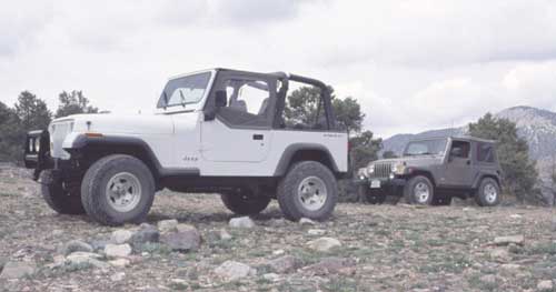
Matt's Blazer and John's Wrangler Rubicon with Panamint Valley behind us.

A couple furnaces and other remains at Clair's Camp.

A view down to Panamint Valley were we started our trip.
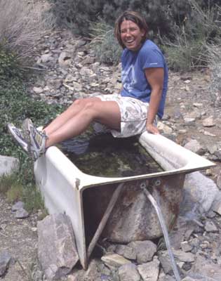
Mandy getting ready to hop in the bath tub. The tub is fed by a nearby spring and is apparently there for horses to drink from.
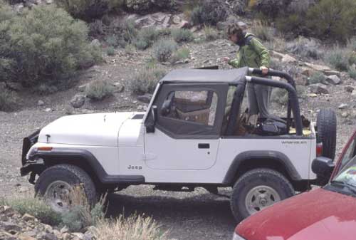
Brooke climbing into my Jeep after our stop to check out the bath tub.
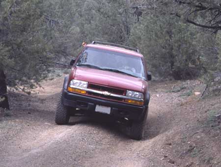
Matt and Mandy coming up the road in the Blazer behind Brooke and I.
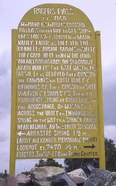
The sign at the top of Roger's Pass. From here you can see down into Death Valley.
My Jeep and John's Jeep at Roger's Pass.

We made a little side trip up a hill with a road full of loose rocks.
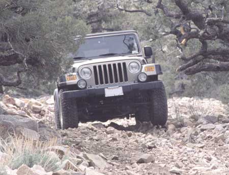
John driving his Rubicon up the same hill. the Rubicon performed really well on this part of the trail with its front and rear lockers.
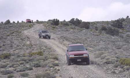
Heading down off the ridge we'd been driving on after deciding it was too early to set up camp. We ran into a guy out there by himself and he decided to tag along with us so he'd have help if he ran into trouble. That's him at the back of the pack in his Bronco.

Looking out the window of an old cabin in South Park Canyon.

Matt and Mandy trying to take an old truck for a joy ride. Looks like it might not start.

This is the part of the trail in South Park Canyon called Chicken Rock. What you can't see in the picture is that there is a 100 foot cliff at the edge of those rocks on the left side of the picture.
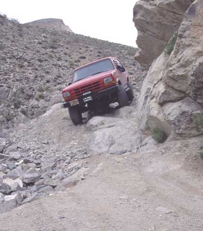
Here's our new buddy (never did get his name) in his Bronco going over Chicken Rock. The other thing to point out here is that the rocks on the road on the left side of the picture have been stacked up to make the trail passable by a vehicle. The repair job was solid, but we still tried to put as little weight on it as possible.
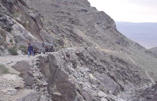
This is just past Chicken Rock were we were stopping to help guide each other through that part of the trail. This gives a better idea of what it looked like off the right side of the road, down the cliff.
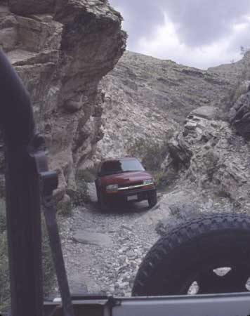
Looking out the back of my Jeep at Matt's Blazer in a narrow part of the canyon.